(This final report is a summary of my trip as well as the final log for the Geocaching Multi Cache GC11PTE, Graz – Monaco. For those of you not into Geocaching, just skip everything starting with GC…. and enjoy the gallery!)
It all began in spring 2016, when Fräulein A and myself decided to do some early-seasonal warm-up hikes. So why not move the starting point of my planned alpine traverse to our homebase Vienna? I have thought about doing a hike from Vienna to Graz before, so this was a perfect opportunity to walk the talk.
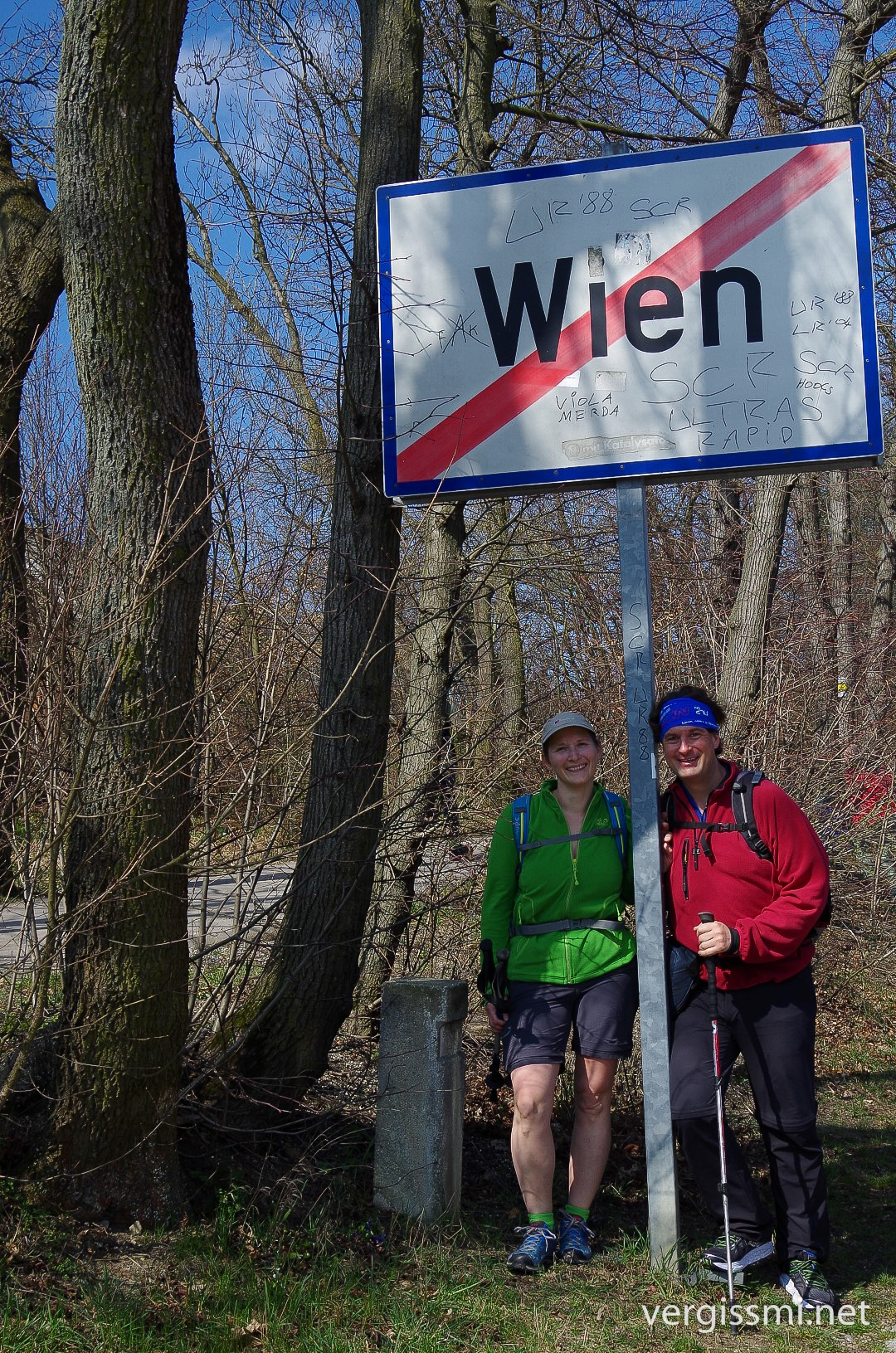
It took us (Fräulein A & moi) eleven days to march from our own front door to Styria’s capital Graz. Not too far away from the city boundary we had our first alpine sleepover in a small, self-catering cabin.
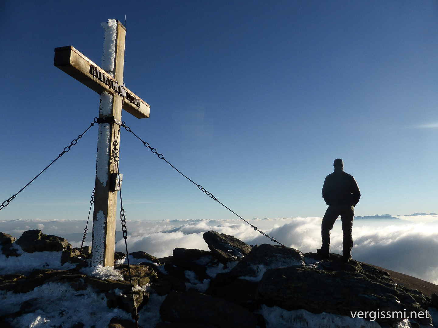
The real thruhike started in Graz, I think it was on June 13th. A few days later we reached the first summit with more than 2000 meters above sea level. For those of you who are familiar with the initial section of GC11PTE and its stages, I might mention at this point that I had already completed collecting their variables _before_ starting the actual thruhike. More specific, I hiked to most of the waypoints between Graz and Bruneck in spring/early summer 2016. That allowed me to pursue a different route from Graz to South Tyrol (I did this part, which is in fact the Southern Alps’ High route, already a few years ago – see part 1, part 2 & part 3).
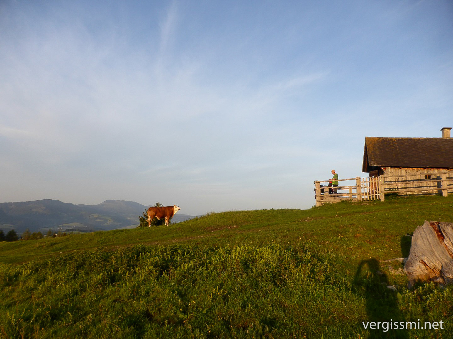
That’s how we managed to visit Koralpe’s highest summit as well.
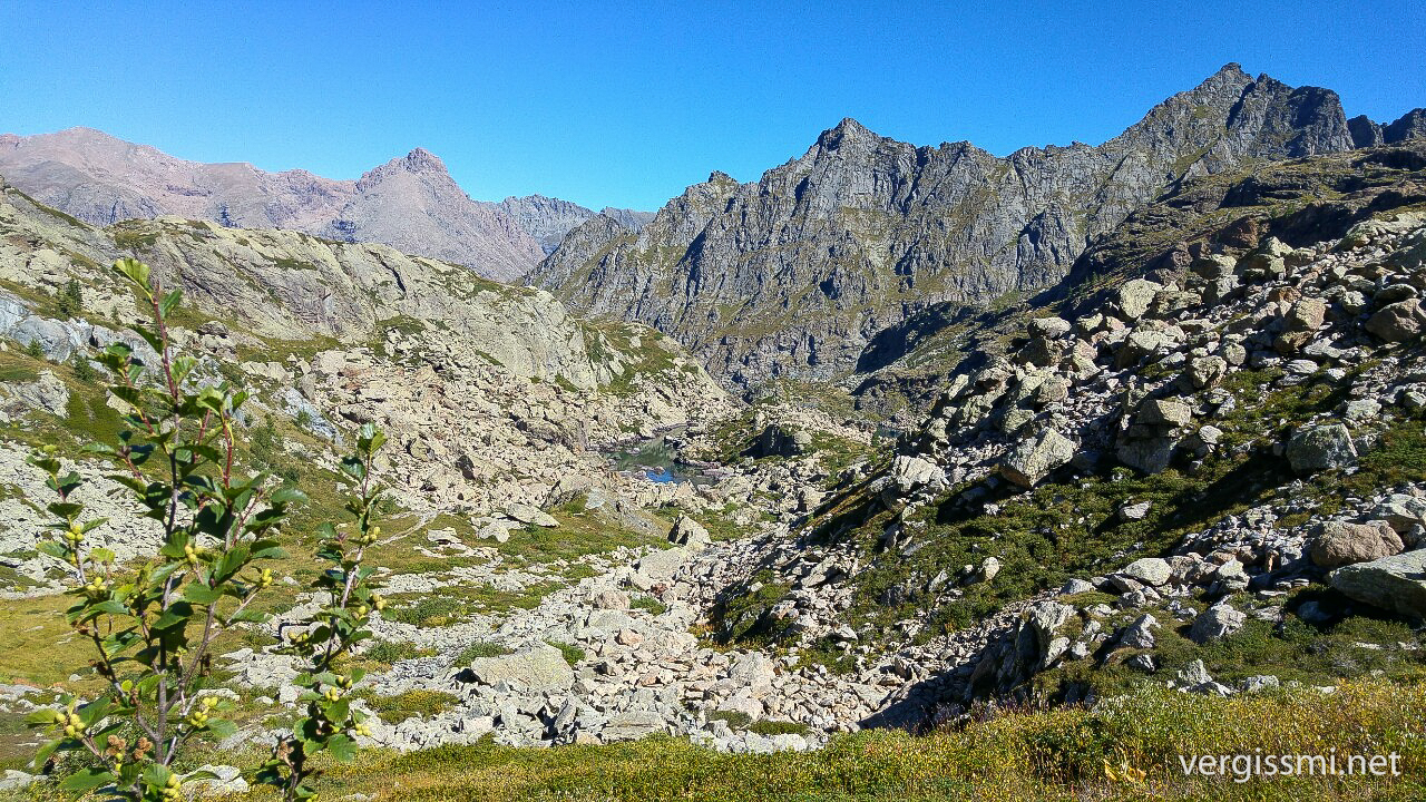
From Austria’s south we crossed the border to spend some days in Slovenia’s north. After the Steiner Alps …
… we hiked through Triglav National Park …
… and finally crossed the Slovenian-Italian Border near Tarvisio. There, Fräulein A’s vacation had come to an end, and we parted ways.
Perfect weather in the Carnic Alps, and a great Multi along the way (GC5XRHY). This pic was taken at Große Kinigat, 2689 m (GC62VTW).
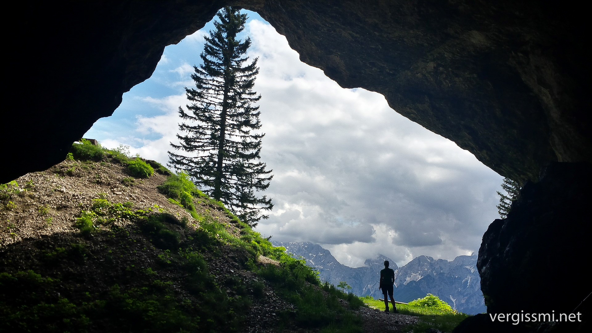
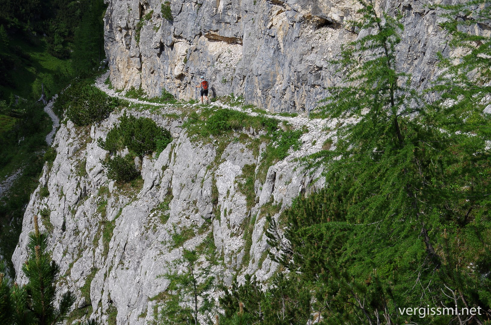
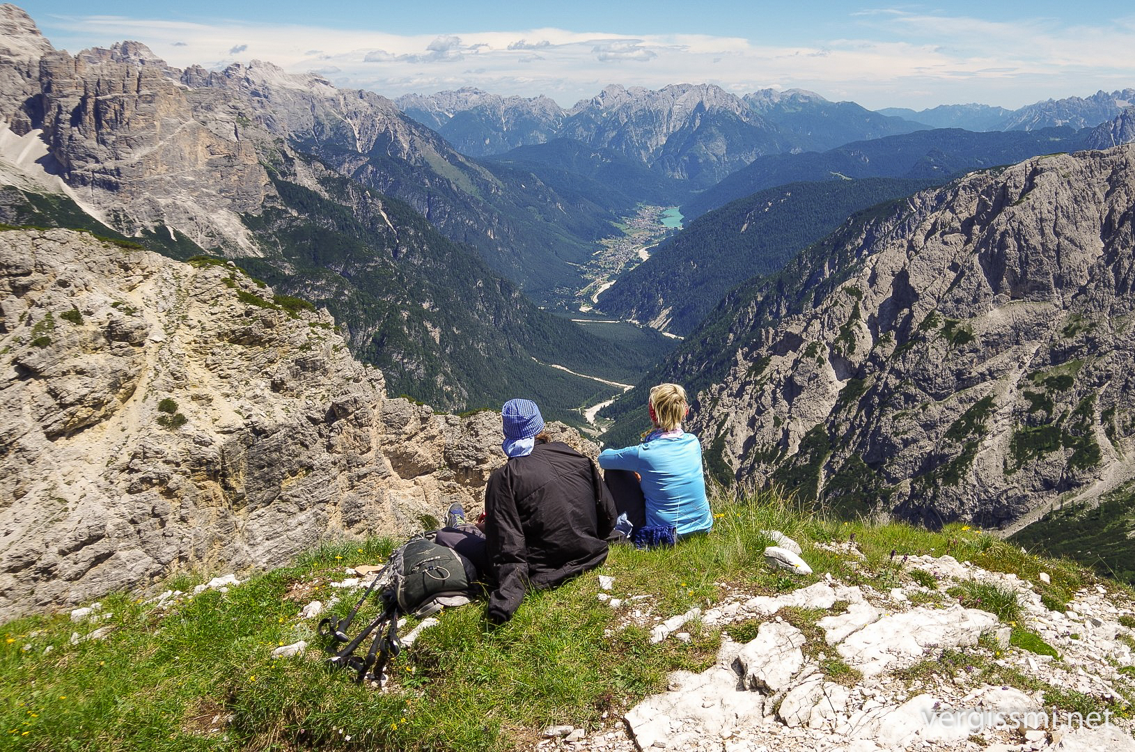
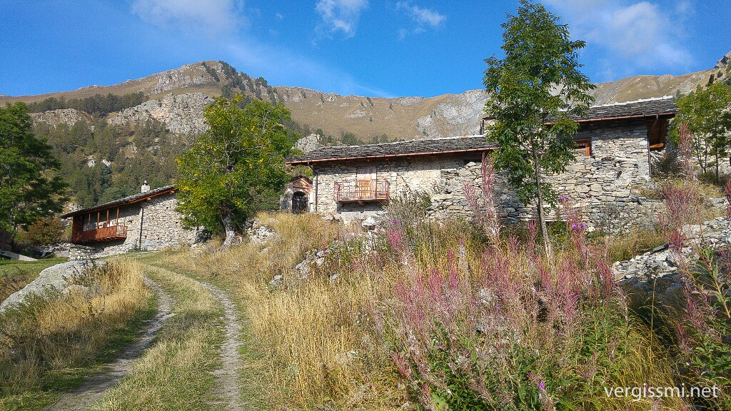
After leaving Austria behind, I had a great time crossing South Tyrol, in particular the Dolomites …
… Sarntal Alps …
… Texel Group (Meran High Route) …
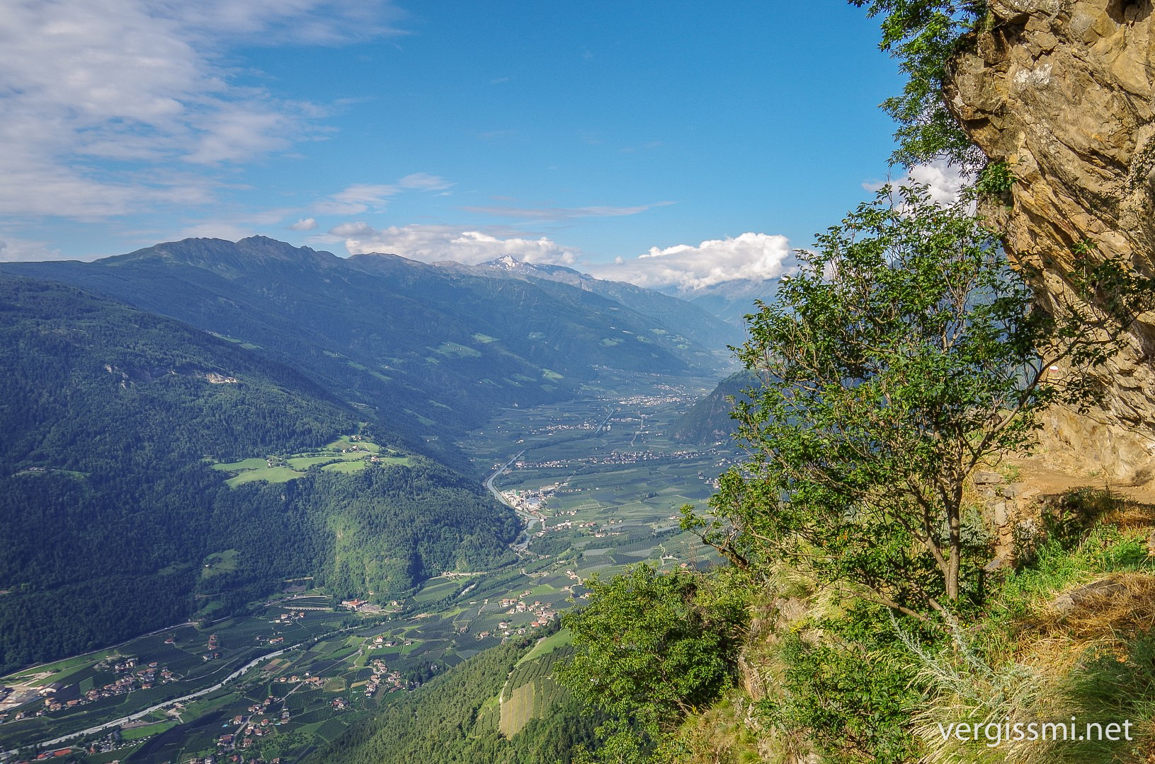
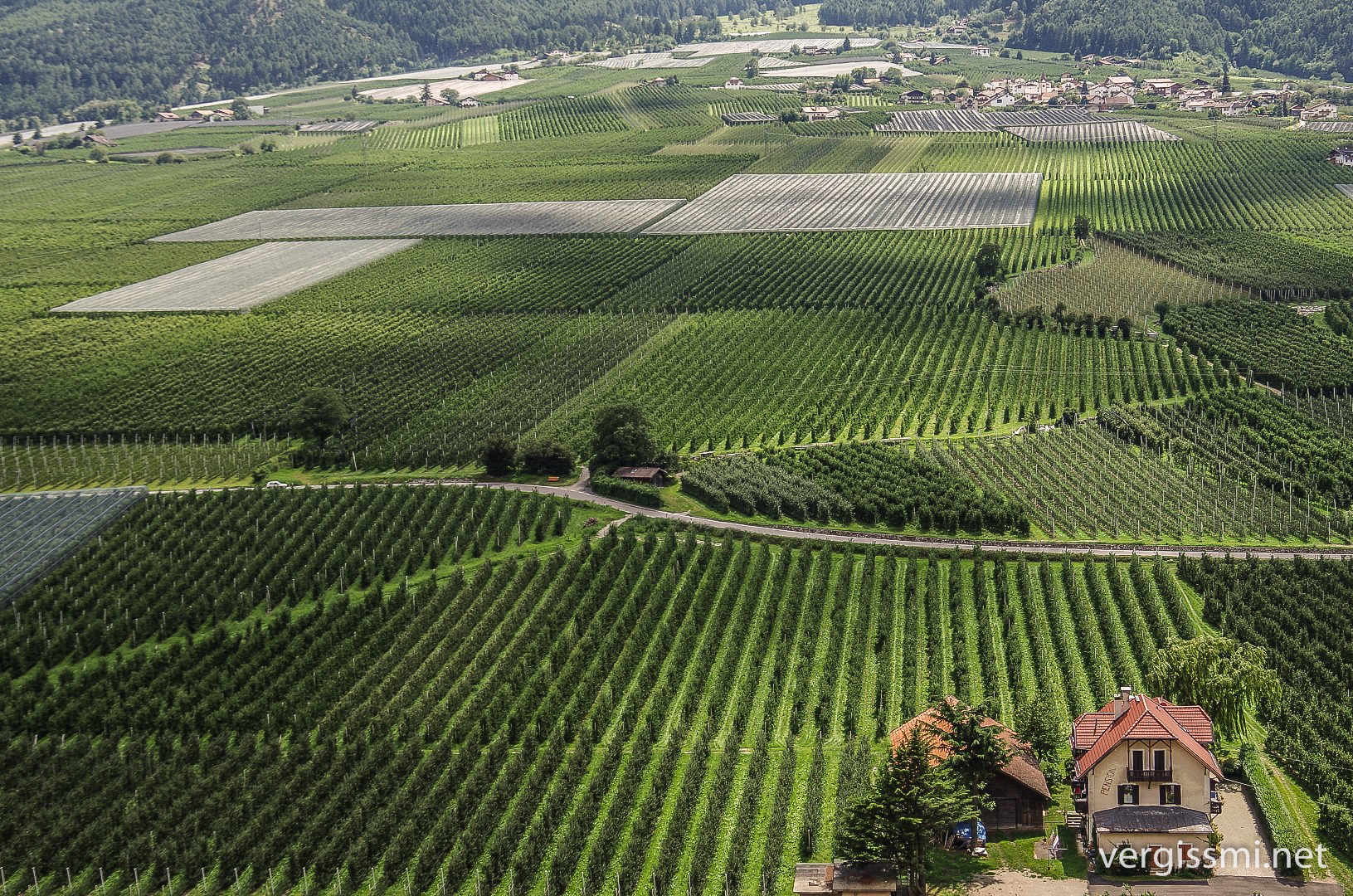
… the gardens of Vinschgau (Vinschgau High Route) …
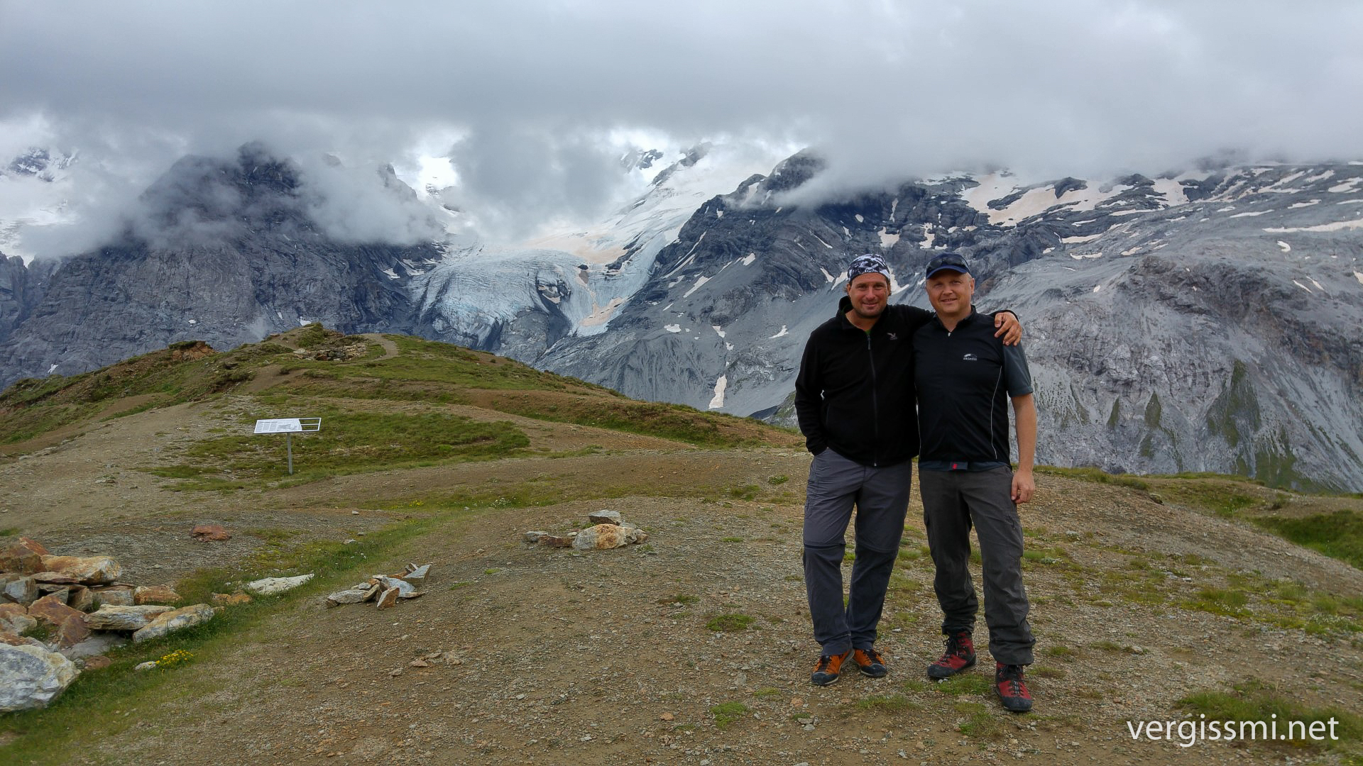
… and the infamous Ortler Group, where I climbed Passo di Stelvio (2840 m) together with my long time friend Andi. We crossed this pass already 15 years ago with our motorbikes, and decided to do it once again – but this time on foot.
Andi left me somewhere in Valtellina and I found myself hiking the Via Alpina again. After Via Alpina Violet (Carinthia/Slovenia) and Yellow (around Meran), it’s Via Alpina Red this time. We’ve already met in Triglav National Park and the Carnic Alps, but this time were going to spend about two weeks together.
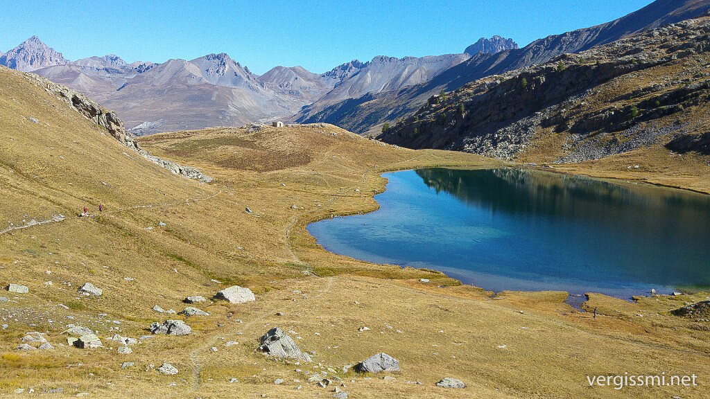
Every other day I crossed the border to Switzerland, like here in the Bernina range.
On it went to the Oberhalbstein Alps …
… and finally through the Misox to the end of the Eastern Alps (I decided to promote Lago Maggiore to be the landmark between Western and Eastern Alps, which isn’t completely accurate, I know).
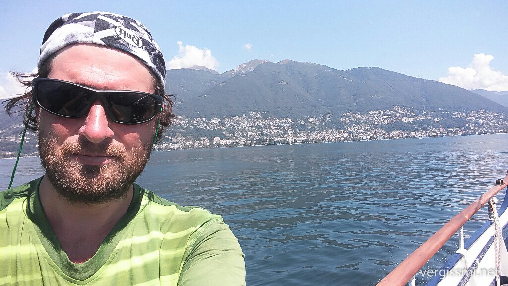
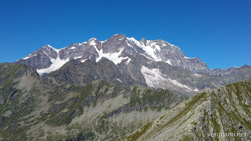
A few days later I enjoyed plain sight to Monte Rosa’s peaks, like Doufourspitze (it’s not the seemingly highest one, it’s the middle one on the massif’s right half)
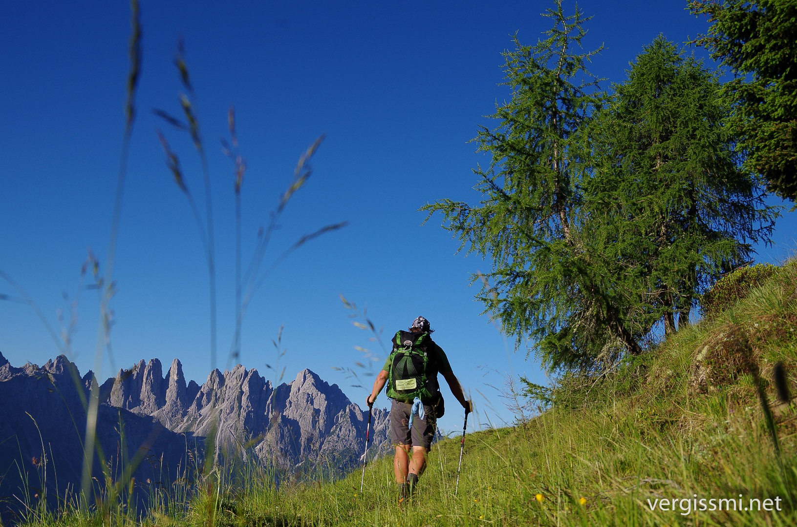
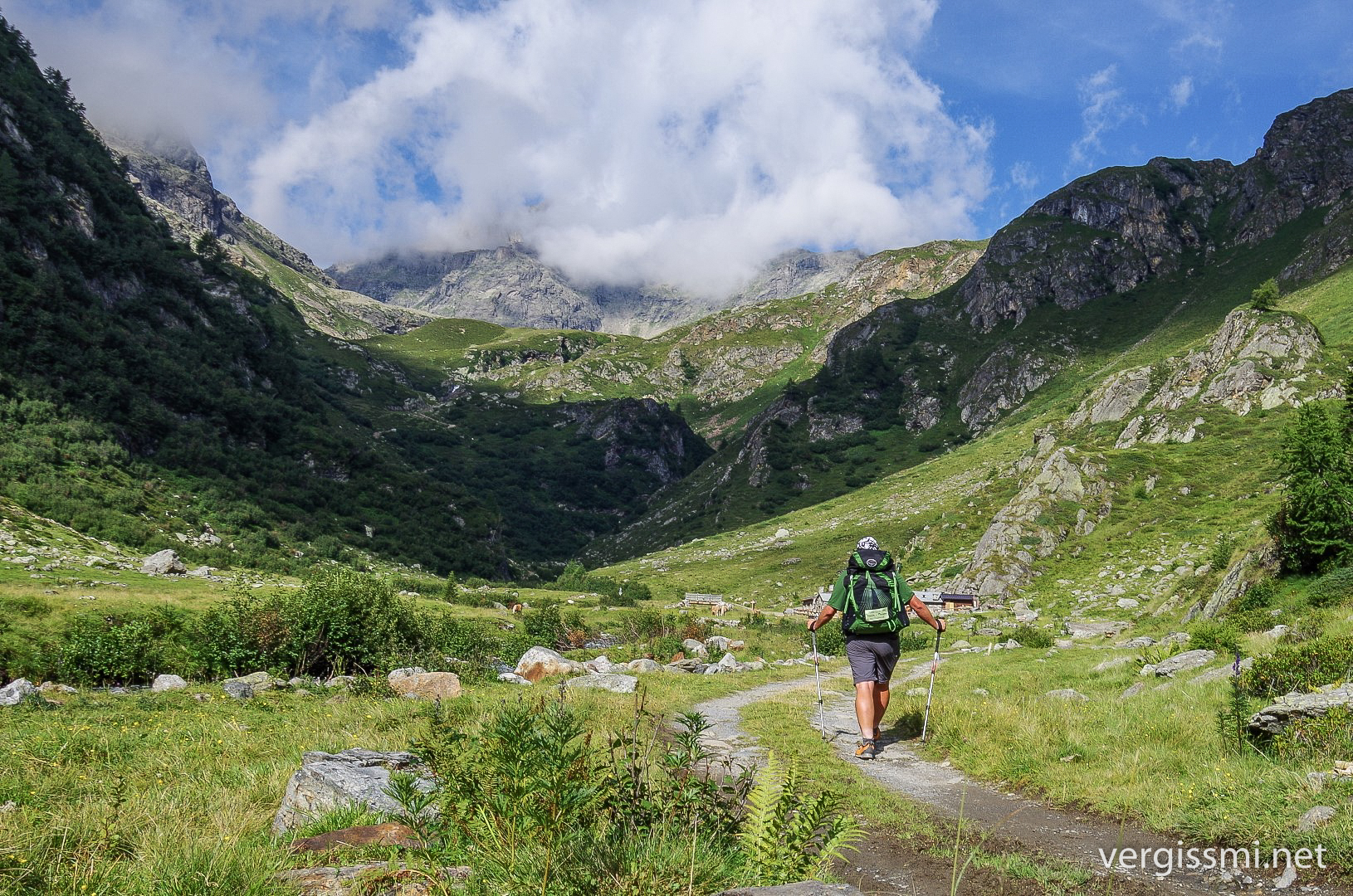
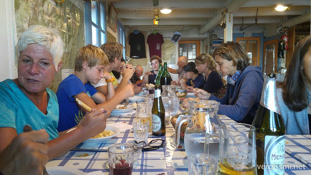
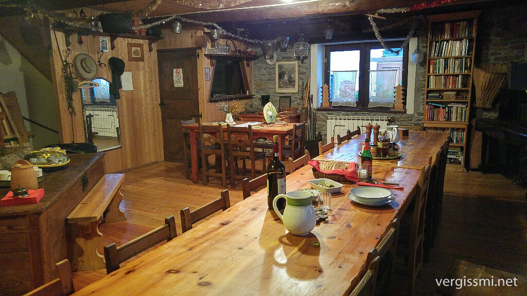
I was strolling along the Grande Traversata delle Alpi (GTA) back then, a long distance hike through the Piemont mountains. This region, beside beeing a paradise of its own, is famous for its cuisine. I liked the familiar atmosphere at the alpine huts – and met some very nice people there.
Thruhiking in the Western Alps means basically: You don’t walk that far in a day, but you are doing a tremendous amount of meters in altitute.
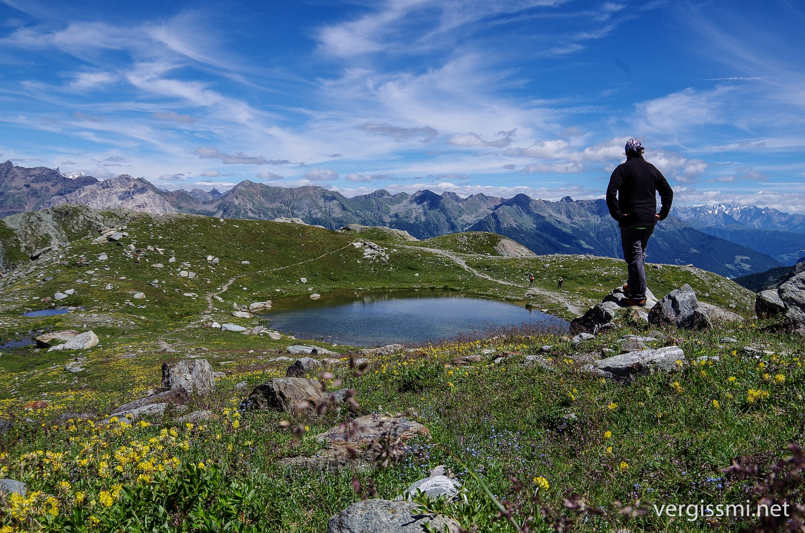
I really loved the time in that corner of the world. This pic was taken in Gran Paradiso National Park:
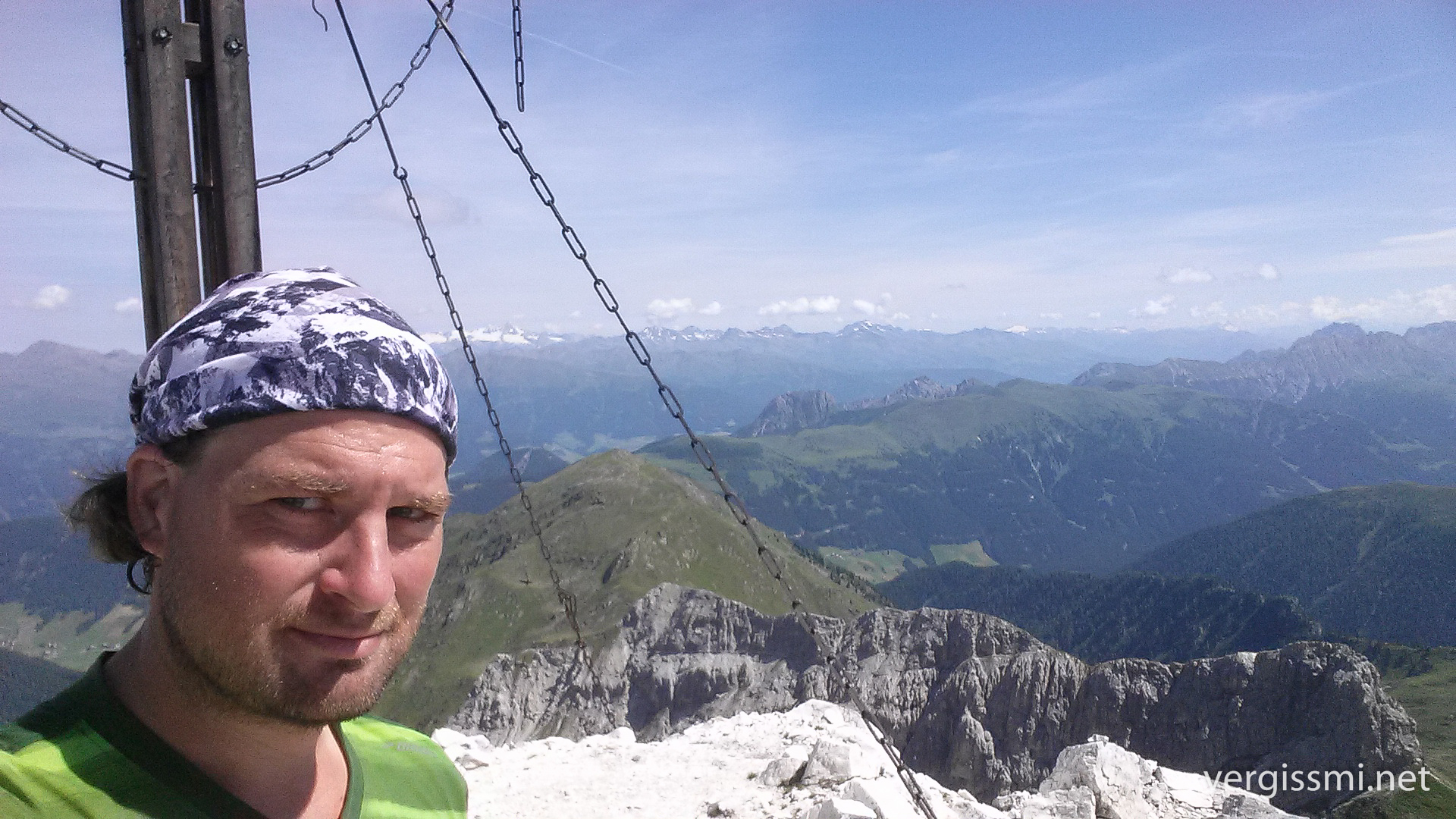
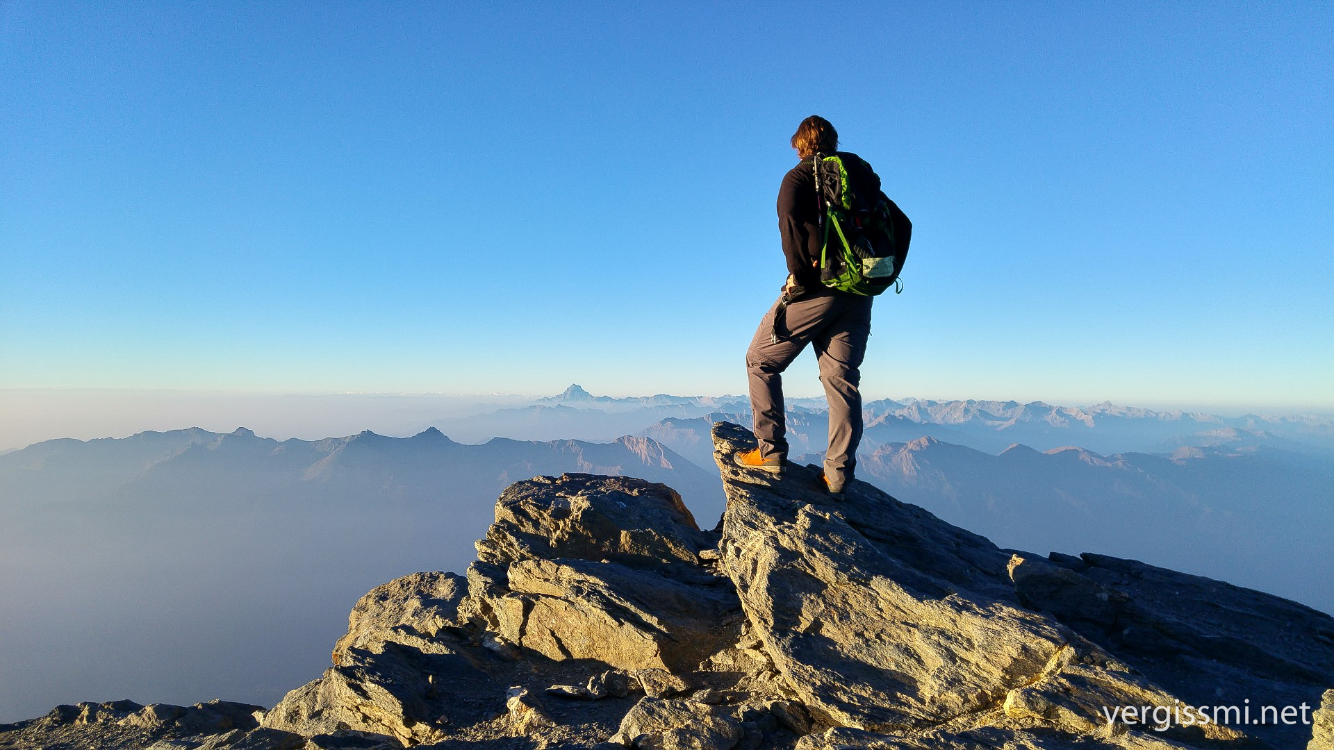
Right in the middle of Piemont I climbed my highest peak along the way – il Rocciamelone (3500something, GC3V868). The Godfather didn’t assign me to go there, but one does not miss an opportunity like this when you’re around.
In the mid of September I started to feel somewhat lonely – all fellow hikers went back to where they came from, it was just me – being happy that the Posti Tappa haven’t closed yet. Dinner was still fantastic though, even with nobody to talk about it.
When I came around Mon Viso, I had to improvise. The high route was inofficially closed (too much snow), so I had to settle for a deviation at a lower altitude.
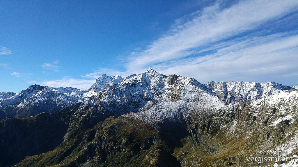
It wasn’t that bad either …
… and I managed to get back en route a few days later. After 2 1/2 months I left Italy and entered Mercantour National Park, which happens to be right on the other side of the Italian-French border.
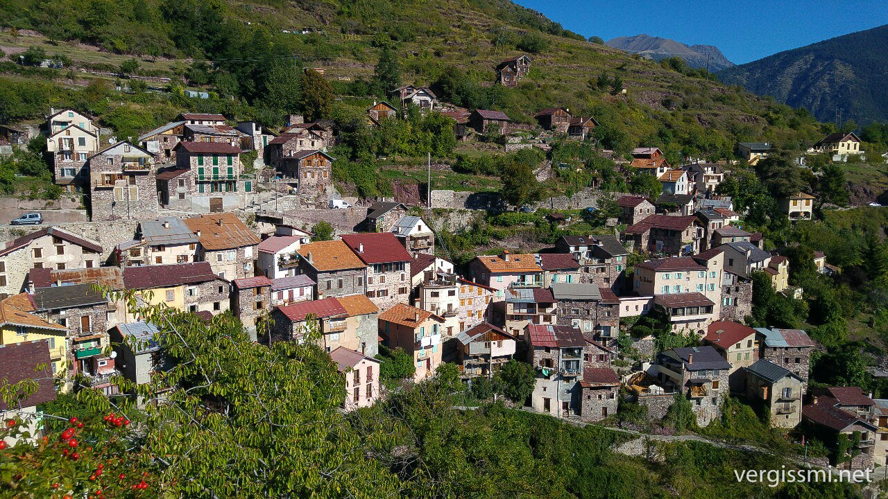
It took me about four days to cross the National Park southbound. Those were my last days in the Alps as well. I reached the political region Cote d’Azur, where mountains tend to stay below 1200 m. I think this one was the last real mountain village for me:
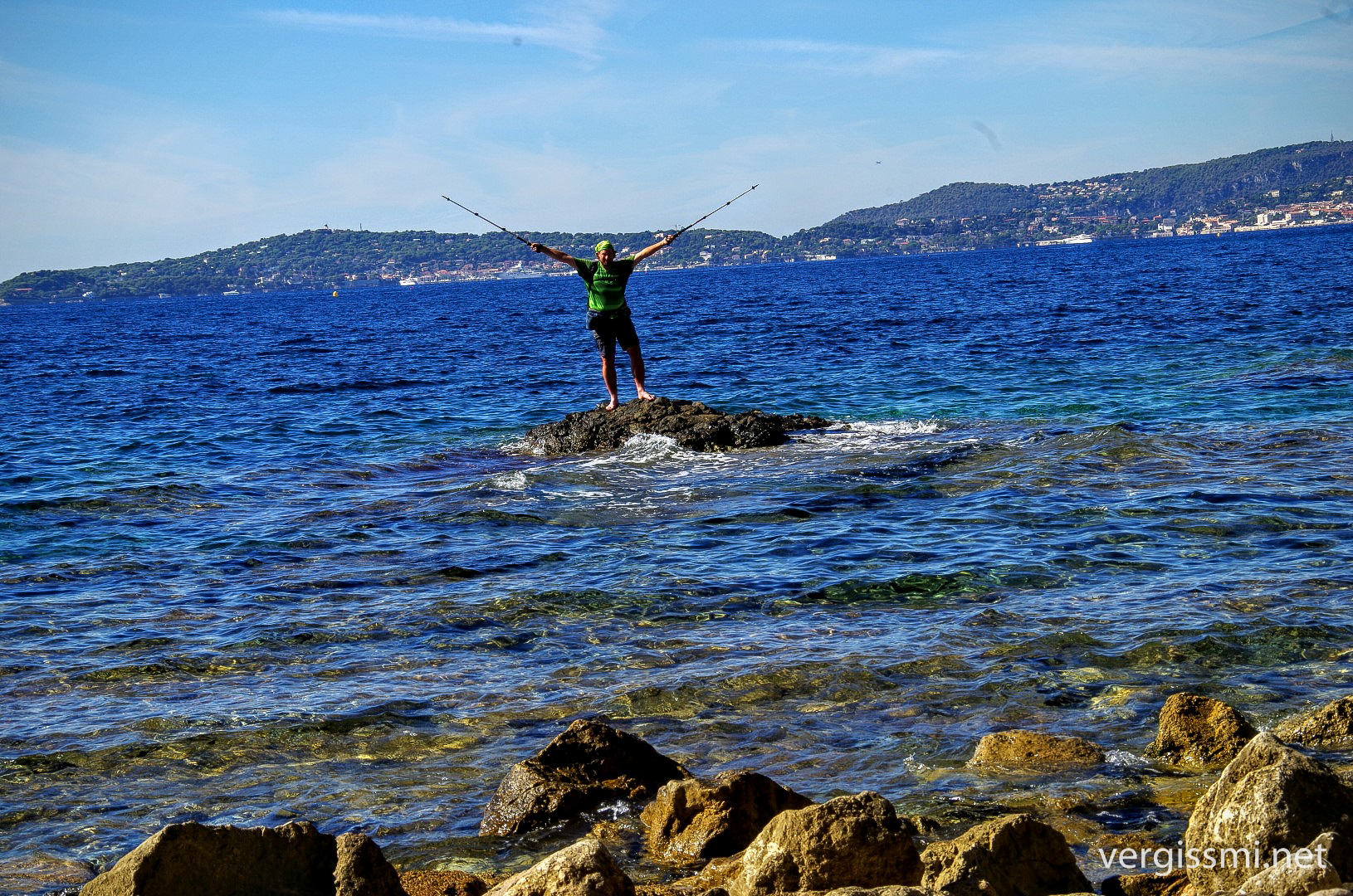
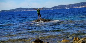
Yeah … and there it was.
A few words about GC11PTE
One cannot easily comprehend how much work [DerGe:d] put into this one. I don’t want to uncover any details – everybody who is interested in this unique adventure should have her/his own chance to find out how he managed to build a transnational multi cache with XXX stages AND almost as many surprises … it was well elaborated, funny and diversified.
I do not know how to thank you, Kai, for talking me into this. Right now I don’t believe that there’s any single cache out there which could ever tempt me more as this one did. I am not much of an FTF hunter, but this one makes me feel good. It is the “longest” cache on earth (at least to my knowledge), and you don’t have the chance to pull off something like this every day.
Thanks mate!
—
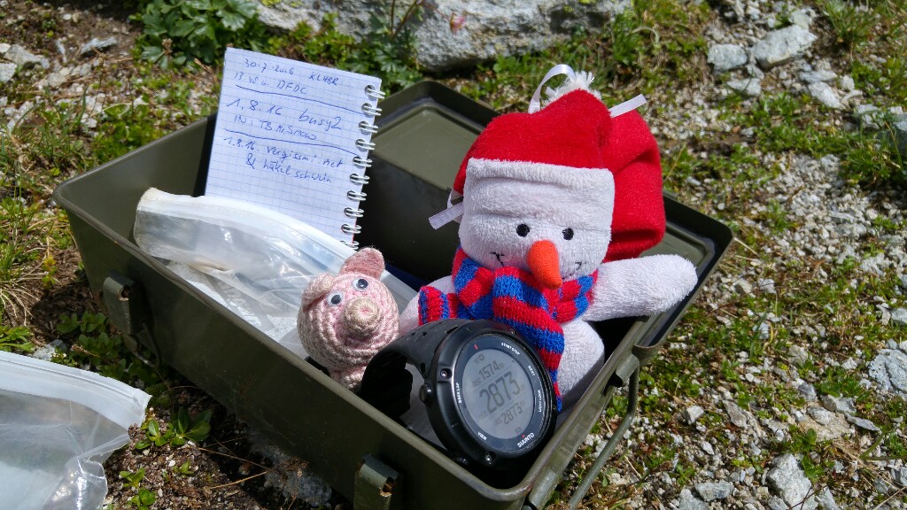
PS: the picture showing a cache box has been taken here – it’s not the final.
Lieber Martin,
mit einer kleinen Portion Neid möchte ich dir zum FTF gratulieren. Wobei der Neid sich weniger auf den FTF als viel mehr auf die Tatsache bezieht, dass du die Tour in einem Sommer durchziehen konntest.
Meine Planungen für den heurigen Abschnitt laufen in Hochtouren und ich genieße Kais und deine Berichte, weil ich da schon ein bisschen ins Wanderfeeling eintauchen kann.
Liebe Grüße Volker
I freu mi scho recht auf Deine Tourenberichte – das, was Du heuer vorhast, ist durchgehend extrem lässig.
Ja du hast recht, manche Tage werden seeeehr lang.
lg Volker
Was steht denn heuer auf dem Programm, Volker? Bin schon sehr gespannt!
Lieber Martin, auch ich möchte dir, in voller Bewunderung und ein bisschen Sehnsucht, zu DIESEM “First to Found” gratulieren. Wìe schreibt schon J.W. von Goethe – ” man reist nicht, um anzukommen, sondern um unterwegs zu sein”.
Ich wünsche dir weiterhin schöne Erlebnisse und freue mich schon auf den 4. Juli 😀.
Liebe Grüße die pyhrnPrielerin
Mir fehlen die Worte, deshalb nur ein “Einmalig!!” und herzlichen Glückwunsch zum FTF. Die Bilder sind wunderbar und der Rest auch.
Dankeschön Jutta!